Camí from ses Artigues to Orient
On this tour, the traveler will be able to visit part of the old Andalusian-era hydraulic system that supplies the town of Alaró.
Characteristics
Difficulty: easy-medium
Distance covered: 4.4 km
The excursion starts in Alaró, in the neighborhood of los Damunt and along Carrer de Son Duran, continues the course of the s'Estret tower, then through the s'Escaleta pass towards the Talaia de cals Reis pass and rises from Can Llenderina, ends in Orient.
On this tour, the traveler will be able to visit part of the old Andalusian-era hydraulic system that supplies the town of Alaró.
Starting the walk in the Los Damunt neighborhood, the starting point can be the popular Plaça de Cabrit i Bassa, presided over by an element that provides clues to the water conduction system that runs through the whole town: a cistern with a manual pump of iron that is no longer used. This was supplied with water from the source of Ses Artigues.
On the way up, at the end of Carrer de Son Duran, with the stream on the right, and leaving behind the houses of Can Corona, we pass the houses of sa Font des Jardí, clinging to the bed of the stream. This is the first of the system of ten flour mills moved by water that are incorporated into the qanat system of the Font de la Vila, and which were named after their owner: sa Font, Ca na Fara, Son Borràs, Son Bieló, Son Vidal, Son Tugores, Son Berní, Son Ibert, es Molinàs and Bànyols. In the 17th century this source was also known as the source of the Mills.
The building that protects the sa Font mill is rectangular in plan and served as a defense tower in addition to grinding grain.
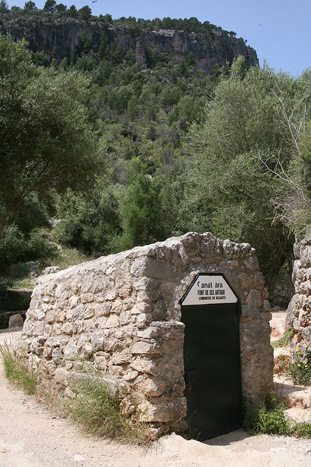
Continuing along the path, a little further up, a large uncovered tank is surprising for its size, it is a new construction with a capacity of 5,500 m3 (2008). Built by the Font de ses Artigues Irrigation Community, it is fed by the same source.
Close to the aforementioned deposit, is the estate of Ses Artigues, from which the qanat takes its name. The water from the source was led through an uncovered ditch – currently channeled – to Alaró; this covered the entire urban center until the route ended at the estate of Son Fortesa.
Continuing the path, and leaving the houses of Ses Artigues on the left, it is observed that it has almost completely lost the paving and has been converted into a concrete track. The route ascends through an area of swamps, without straying at all from the bed of the stream.
Set of s'Estret marshes
The marshes in this area are due to the subdivision of communal land between 1673 and 1674 due to a fire that devastated the commune of S'Estret. The margins are rudimentary, very adapted to the terrain, mostly cultivated with olive trees, with some small areas of almond trees in the lower part.
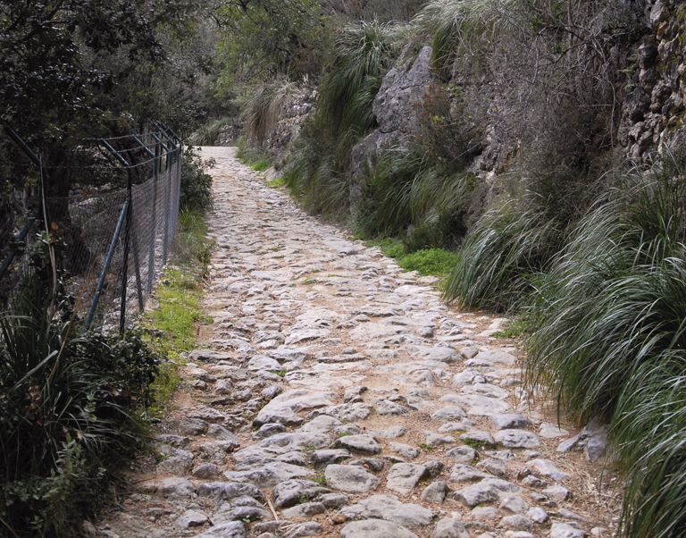
On both sides of the road you can see roter huts – simple constructions that were used for shelter while agricultural activities were carried out and where work tools were kept – as well as newly built houses. You climb it between half-abandoned olive groves, some completely recovered recently, oak groves and the pine forest that invades the old crops. In some places, the technique of paving and stepping the bed of the stream is surprising, in an attempt to reduce erosion and the force of the water's impact and facilitate its infiltration.
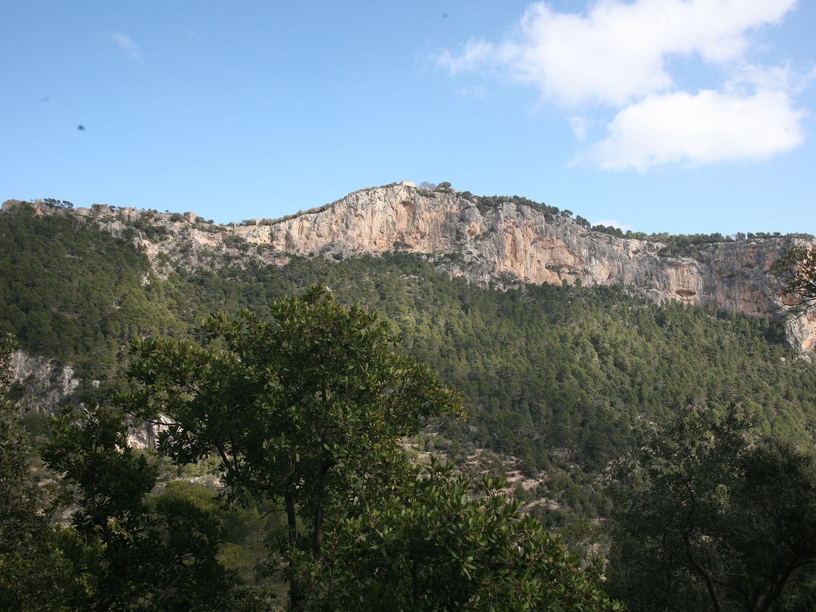
The route continues, without loss, up the valley, and reaches s'Estret, a natural gorge in the valley, which gives its name to the stream that accompanies the traveler during part of the excursion. Crossing the Narrows, you have to take some tight turns and a little steep
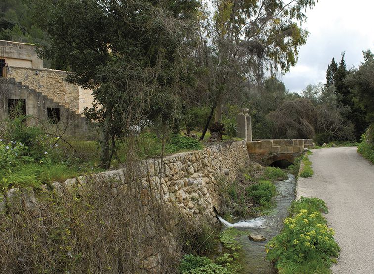
Houses of sa Font des Jardí
You must not leave the road until you have passed the estate of Ca na Magdalena. Leaving the barrier on the left, from which the private path towards the houses starts, following the original path and for just over 100 m, a path opens to the left. Landmarks, some red markings and even the name Orient stamped on the concrete, provide clues as to the way forward.
The path traveled until then is abandoned and the walker enters the path of s'Escaleta, the old communication route on foot between Orient and Alaró.
Once you find this path, it will be difficult to lose it because of the number of signs and guides that have been installed. Following the trail, you reach the S'Escaleta pass, a pass built at a point of some difficulty for local traffic, so a stone wall was built, to which climbing steps were added in the form of a ladder.
Mills
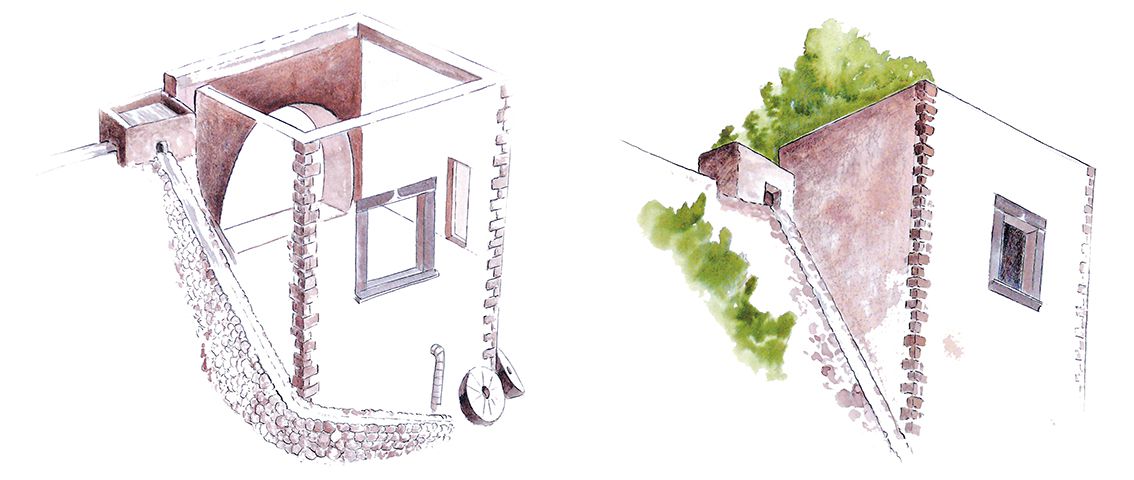
The mills were of sober construction, with simple machinery, which allowed easy repair and maintenance. The water from the main drain was diverted through a secondary channel and led to the basin, under which the mill was located. When the water jumped out of it, the force of the fall made the machinery move. Having passed the mill, the design of the sewer route did not allow the water to return to the canal, so the flow that came out was used to irrigate the immediate marshlands or was stored in laundry rooms. Above the houses you can see the route of the drain, the diversion of the canal and, above the stream, devouring the path, the drain that continued the path to a new mill, which appears now canalised.
Water had to reach everyone, the distribution had to be equitable and its use was strongly regulated and organized. Even, at some points in its history, it was controversial. With the task of organizing the use of water, the figure of the siquier was created in 1293.
After overcoming this gorge, after a short time you enter a plain invaded by a wet oak grove, which has been rigorously exploited for centuries by the area's coal miners. This is evidenced by the large number of shacks – simple constructions where coal workers were sheltered – and the remains of silo rolls scattered around the area.
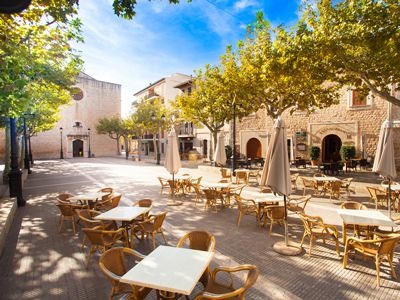
The further you go, the flatter the road becomes, until you reach sa Plana, a very open pass towards the Orient valley. This esplanade is a meeting point for numerous secondary paths that lead to the town of Orient or back to Alaró. At the end of the pass, the view of the Vall d'Orient opens before the walker, a town of just over 40 residents with an undeniable charm, which attracts a large number of visitors all year round. The path continues and connects with a road wide enough for the entry and exit of carts, probably to facilitate the extraction of coal.
The descent continues towards the East, already in the municipality of Bunyola. The path, sometimes paved, passes by a spring called La Fonteta and connects with the Carretera d'Orient, at kilometer point 11.2. To return to Alaró, you can go back along the path described and return there, or continue along the road from Orient to Alaró.
Coal workers
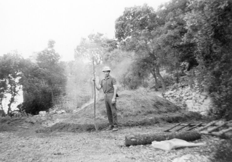
The age-old technique of making charcoal was done by piling wood, to form the silo, on a circular esplanade, covering it with clay and branches and setting it on fire. The circular construction of stones is called silo roll.
The wood, usually oak, had to be consumed little by little and the charcoal burner constantly monitored to obtain a product of optimal quality. During burning sessions that could last for days, the charcoal burners took refuge in very rudimentary huts or shacks, where they looked after the silos.